Brad looked down at us from 20 feet above. Yet, in horizontal distance, we were maybe only 10 feet apart?
How the hell did I miss this pitch on the map? I thought to myself, my breath heavy, sweat running down my body and face.
900 feet of elevation gain in just 0.8 miles. Kill me now.
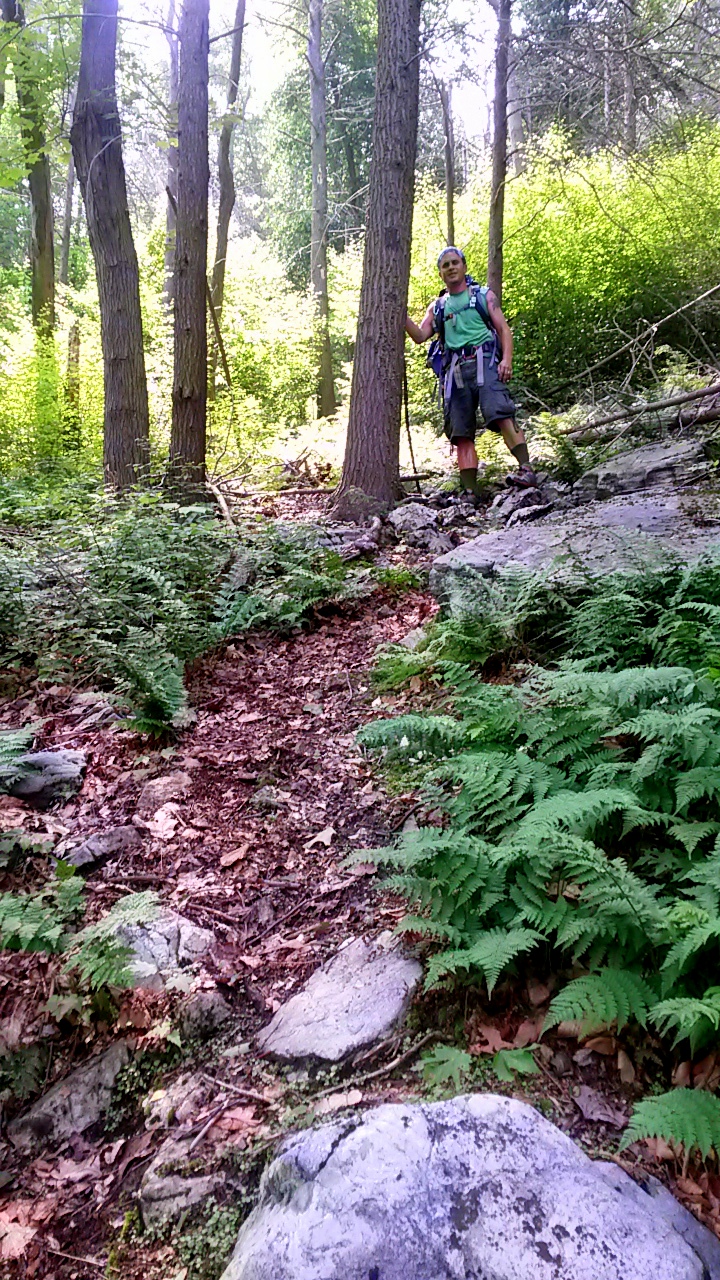
We all knew it would be a challenge, but rarely do you see mountainside trails in Pennsylvania that rise above 45-degrees for sustained distances. Yet much of the slope was very close to that out of Fowlers Hollow in Tuscarora State Forest.
“You guys OK down there?” Brad shouted.
“Yeah, we’re just catching our breath,” I said.
“Yeah, I’m fine,” Josh shouted up from 10 feet below me on the pitch. “Go on ahead if you’re ready.”
Brad had already been waiting a couple of minutes for us to catch up. When Josh had finished his sentence, Brad took one last look at us, turned and began running up the mountainside.
My jaw dropped. I had, for a moment, considered walking again, until he began running. I decided to wait for Josh to reach me. As Josh labored up the slope, he paused on the trail next to me, looked up at Brad disappearing through some brush at speed, and we looked at each other in disbelief.
“He’s going to need to pace himself,” I said to Josh. “This is a long hill.”
“Yeah,” is all Josh could muster, breathing heavy.
Soon, we too began our ascent of the slope at a much more measured pace. Sweating, walking, pushing upward toward the summit, which never really seemed to get any closer. Soon, we caught up with Brad, who was now cursing the mountain, and once again walking.
I stopped for some water and looked over my shoulder. The view through the pines and oaks, was mystical, as if we were on the slope of a mountain in the Cascades. The hollow below us dropped away and a slight fog lingered downstream. The day was hot and humid. It wasn’t even noon. I could finally see the last shelf and the sparkling eastern sunlight coming through the tree line.
We endeavored up and up and up. And suddenly the mountain flattened out, as if this razor-backed conglomerate beast had given itself over to be conquered, laying down for us to trample it. No fight left in its belly, it succumbed to our boot heals.
We collapsed, cursing the beast for its fight. And we still had another four hours of this nightmarish footpath.
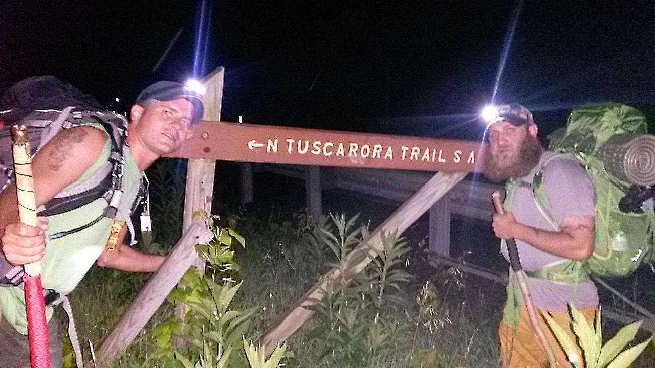
To the Tuscarora Trail!
We had decided to hike the 18-mile Section 5 and Section 4 of the Tuscarora Trail, north from its trail head in Spring Run, Pa., to the parking area on Cowpens Road at the eastern edge of Tuscarora State Forest on June 9 and 10.
Several years ago, I had hiked the Tuscarora from Cowans Gap State Park to the top of Big Mountain. That trail, although moderate in difficulty in the early miles. was relatively easy once on the ridge except the overgrown brush. So I had a basis for comparison.
At 10 miles of ridge-running the first day and a little more than 8 miles of rollercoaster ridge-and-valley hiking on the second day, we figured the trail would be a challenging and scenic two-day trek.
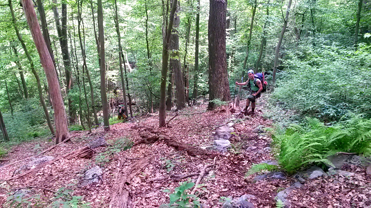
On Monday, June 8, Brad Erb and I placed my car at Cowpens Road so we’d have a ride on Wednesday when we finished. That night, Josh Stadler drove down from Williamsport to stay the night at my house so we could set off first thing Tuesday morning.
However, around midnight, sitting on my back patio sipping Yuengling Lager, Josh said, “We could get going in a couple of hours and be on the trail well before 8 a.m.”
We smirked at each other. “Let’s do it,” I said. “Brad’s going to be pissed at us, but he’ll get in the car.”
We texted Brad, who in disbelief, tried to talk us out of it. We gave him 40 minutes to be ready to go.
Don’t Ignore Us
The door was locked. The lights were out in the house. And he wasn’t answering his cell phone.
“Text him again,” I said. “In fact, keep texting him and calling him until he answers.”
We chuckled mischievously, plodding out messages like “Wake up. Let’s go” and “Hey! We’re here!” until Brad finally picked up and said, “What the fuck don’t you understand about 7 a.m.?”
He let us in and complained, packing his bag slowly, making us wait, hurling obscenities at us. We set timers on our cell phones and he ignored them. And we laughed and made the types of convincing arguments we made with each other to do something dumb back in our fraternity days.
And yes, eventually, Brad kissed his wife and kids good-bye, threw his pack in Josh’s truck and called shotgun on the ride. I let him have it. It’s the least you can do for a buddy when your impulsiveness denied him one last good sleep before an 18-mile trek.
Rocksylvania

In hiker lore, Pennsylvania is just about the most-cursed state of the Union. Appalachian Trail thru-hikers jokingly refer to the Keystone State as “Rocksylvania” due in part to our abundance of knee-jolting, ankle-breaking, boulder-strewn mountainsides and ridge tops.
Some northern mountain landscapes can be a bit bald. Grasses, some trees, but the bedrock shows through and is scraped clean in many places. Not so in Pennsylvania. There’s lots of soil and trees and thick laurel groves and every size rock you could imagine, from loose pebbles and scree, to boulders the size of Volkswagen Beetles.
It’s all a product of the last glacial period and erosion. The Tuscarora Trail, running along the spine of the Appalachian Ridge and Valley mountain system, is no different. (Click to start gallery)


If you hike sections 4 and 5 of the Tuscarora, be advised: your pace will slow to a near crawl in the rocky patches. They’re hidden by ferns and you’ll spend most of that section along the ridge of Knob and Rising mountains looking at your feet.
On Trail, Cautions and Reward
We exited the turnpike at Willow Hill and quickly found the trailhead along Route 641. By 4 a.m. we donned our headlamps and made our way along the road until the trail diverges into the woods and begins its first ascent of Knob Mountain. For a stretch, this follows a private road up the side.
However, if you’re not careful, you’ll miss the sporadic trail blazes (especially in the black of night) and find yourself doing what we did: following the dirt road instead of the trail, which banks left and darts straight up the mountainside.
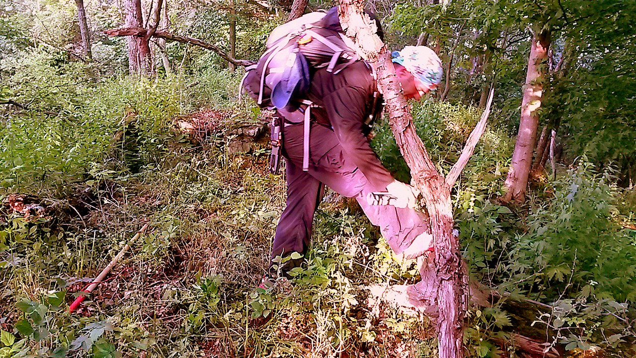
We didn’t realize how far off the trail we were until we were on the ridge at the mountain’s nose, instead of about a mile farther north on the ridge. We slowly picked our way through ankle-turning rock fields, hidden by thick grasses and brambles. Brad cursed the thorns tearing at his unprotected legs in shorts, while we retained our zip-off pant legs.
Eventually, we found the trail as daylight crept over the mountains. We continued on, moving deliberately and still ahead of schedule, until we hit the powerline where we dropped pack, had some snacks and lounged on the rocks watching the sun rise through clouds until a rain shower got us moving again along the trail.


For about a third of section 5, you’re moving through private land. And the owners on either side of the mountain have made it abundantly clear they do not care for you or the trail. On either side of the trail are posted signs every 50 feet, sometimes much more frequently. The message is clear: keep out. So be aware that camping on Knob and Rising mountains is probably ill-advised until you reach Tuscarora State Forest.
Earlier in the day we saw some hunting blinds, most dilapidated but others clearly used on a somewhat regular basis. It’s no doubt from the abundant deer trails that the land owners hunt regularly. Check the hunting seasons and, if you choose to hike during the fall, winter or spring, wear enough blaze orange and other bright colors to make yourself visible.
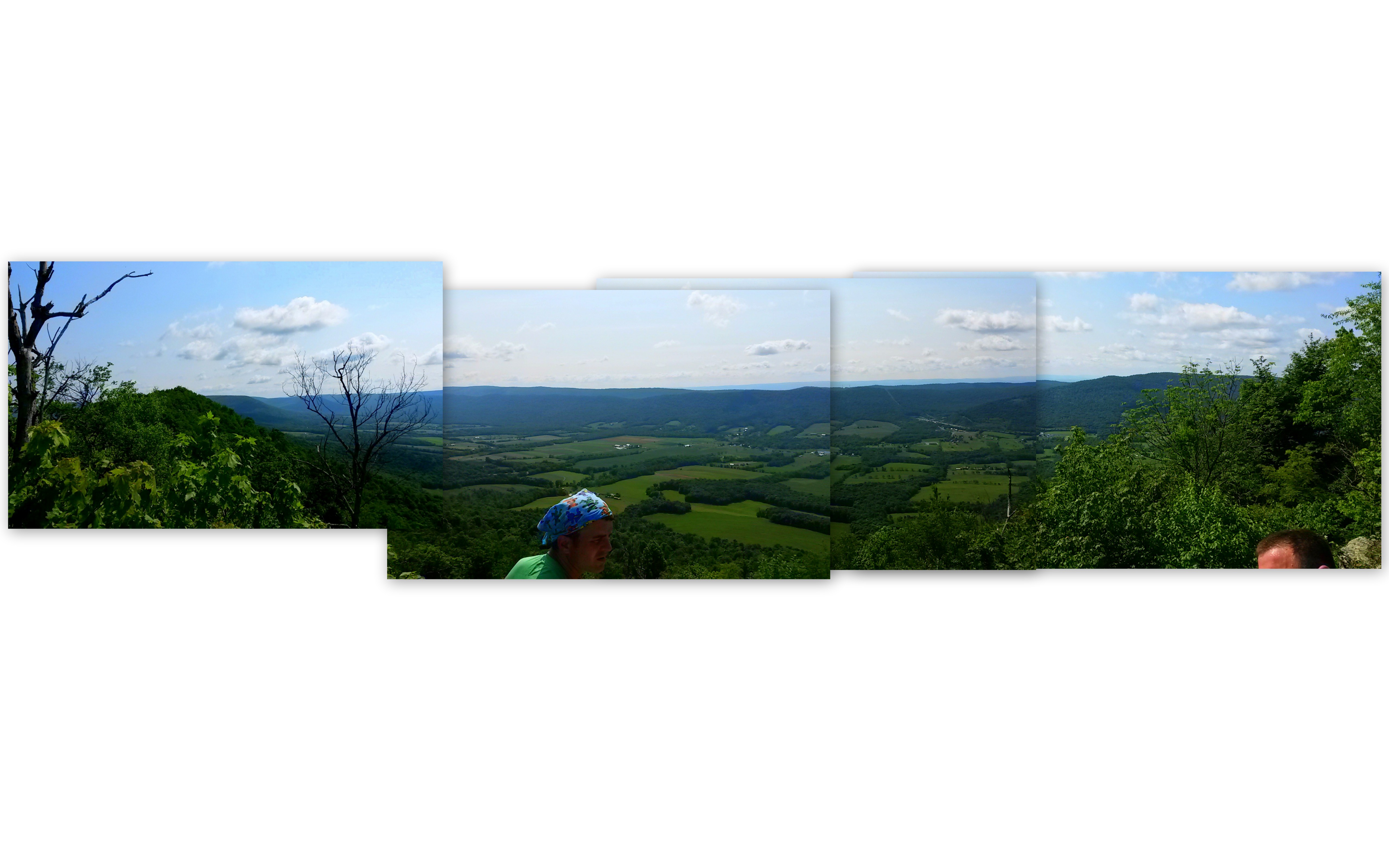
The persistent hiker will be rewarded with one of the best panoramic nearly 360-degree views of any trail I’ve hiked in Pennsylvania. Near the peak of Knob Mountain, just before the saddle that marks its change to Rising Mountain, is a set of bare bedrock cliffs.
As we stumbled through the rocks, we could see brief views of the valley below, but then we emerged from the canopy into the sun and there it was.

The first comprehensive view of the mountain spine, jagged yet soft like an undulating log covered in moss. To the east, the rocks cliff out and you get a view of the valley and Tuscarora Mountain with the turnpike tunnels. It’s a spectacular vista and the tunnel is like you’re looking down on a model train set or a Lego world crafted by the imagination of a child.
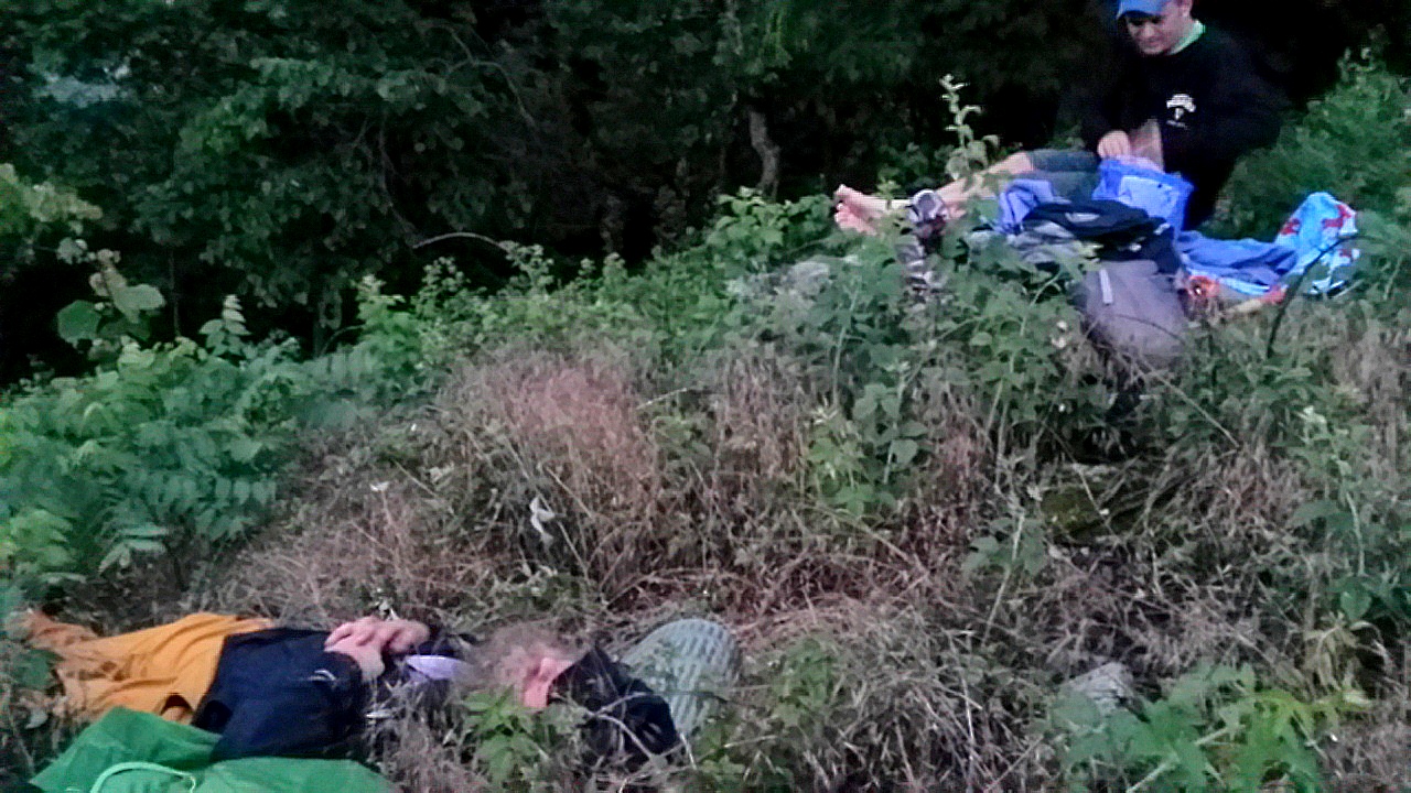
We remained at the vista for a long time, drying socks, eating, marveling at the views, tanning our bodies in the warm sun.
Birth of Twig
“OW! Damnit!” Brad said.
“You OK? What happened? Rocks get you?” Josh asked.
“No, I got hit in the face with the branch,” Brad said.
Earlier that day, we discussed trail names for Brad. We had considered “DEET” because of the extensive amount of insect repellent he applies. “Bathed” is probably a better word to describe it. However, he got the last laugh when Josh and I started picking ticks off us.
CAUTION: Ticks in Pennsylvania and much of the mid-Atlantic and Northeastern states are getting worse. Here’s a great blog from AT and PCT thru-hike veteran “Patches” outlining the problem and why both hikers and non-hikers should take ticks and Lyme disease seriously. I myself will be tested soon.
“Bug” was another trail name consideration. However, every time Brad turned around, or stood up, bent over, walked 10 feet, or took off his pack, some kind of stick struck him in the face.
“Ow, my eye.” We chuckled.
One time he stepped on what he thought was a stable log, meaning to balance and move on, then it sprung up and hit him in the face.
“That’s like the tenth time I’ve been hit in the face with a branch. It probably wouldn’t have been so many if we hadn’t started hiking in the dark.”
He turned around after a break and caught a twig in the eye. Nothing serious, but every time he said ouch, we started laughing.
“That’s it, your name is Twig,” I said.
Slugging Our Way Along
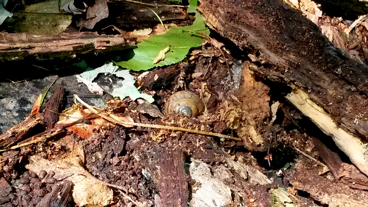
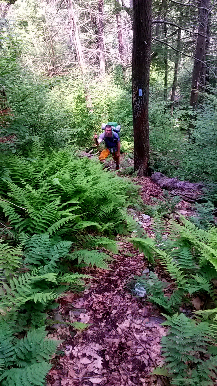
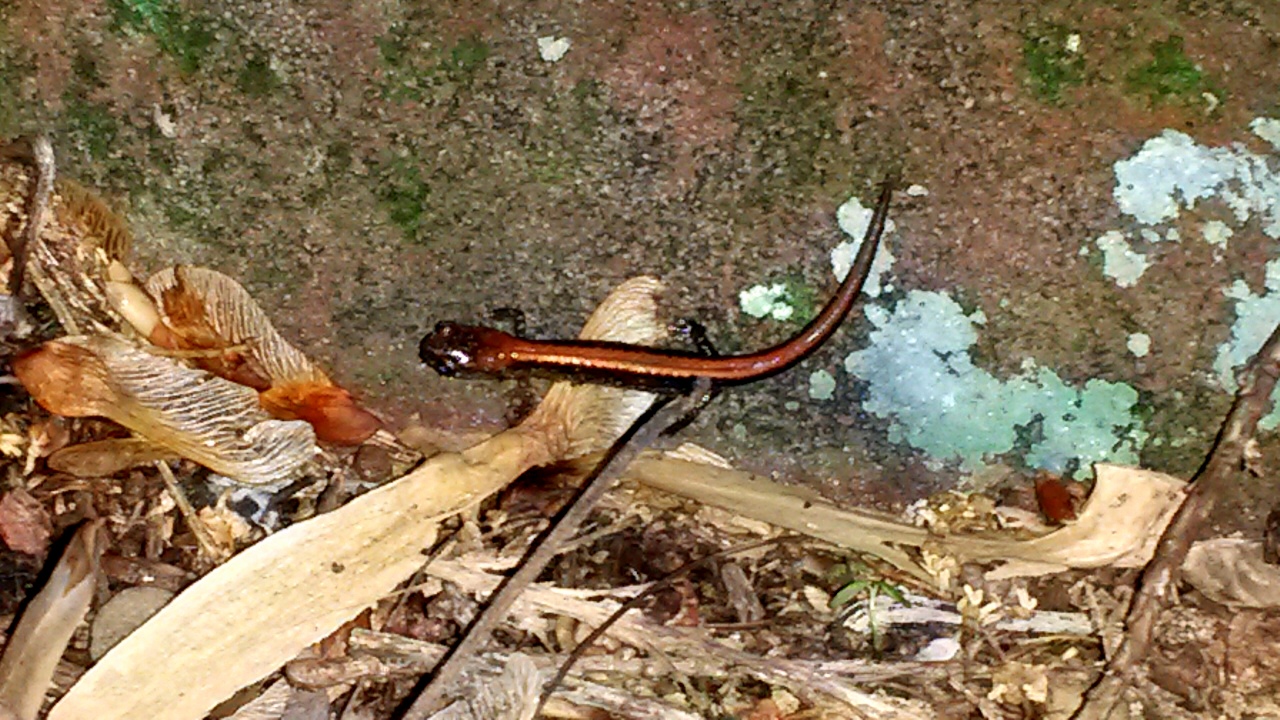
Animal life was abundant on the trail, from skittish deer bolting away only their white tails visible through the undergrowth, to land snails, wood frogs, signs of bear, snakes and all the other woodland creatures.
Yet, day two’s abundance of critters had an uphill battle to erase the memory of the day’s rollercoaster mountain hiking on Section 4.
When we hit the top of Sherman Mountain before descending into Laurel Run, we looked across the valley. An audible groan came up and my map skills were called into question.
“We have to go up that?” Josh asked.
“I thought you said we were done with climbing mountains?” Brad added.
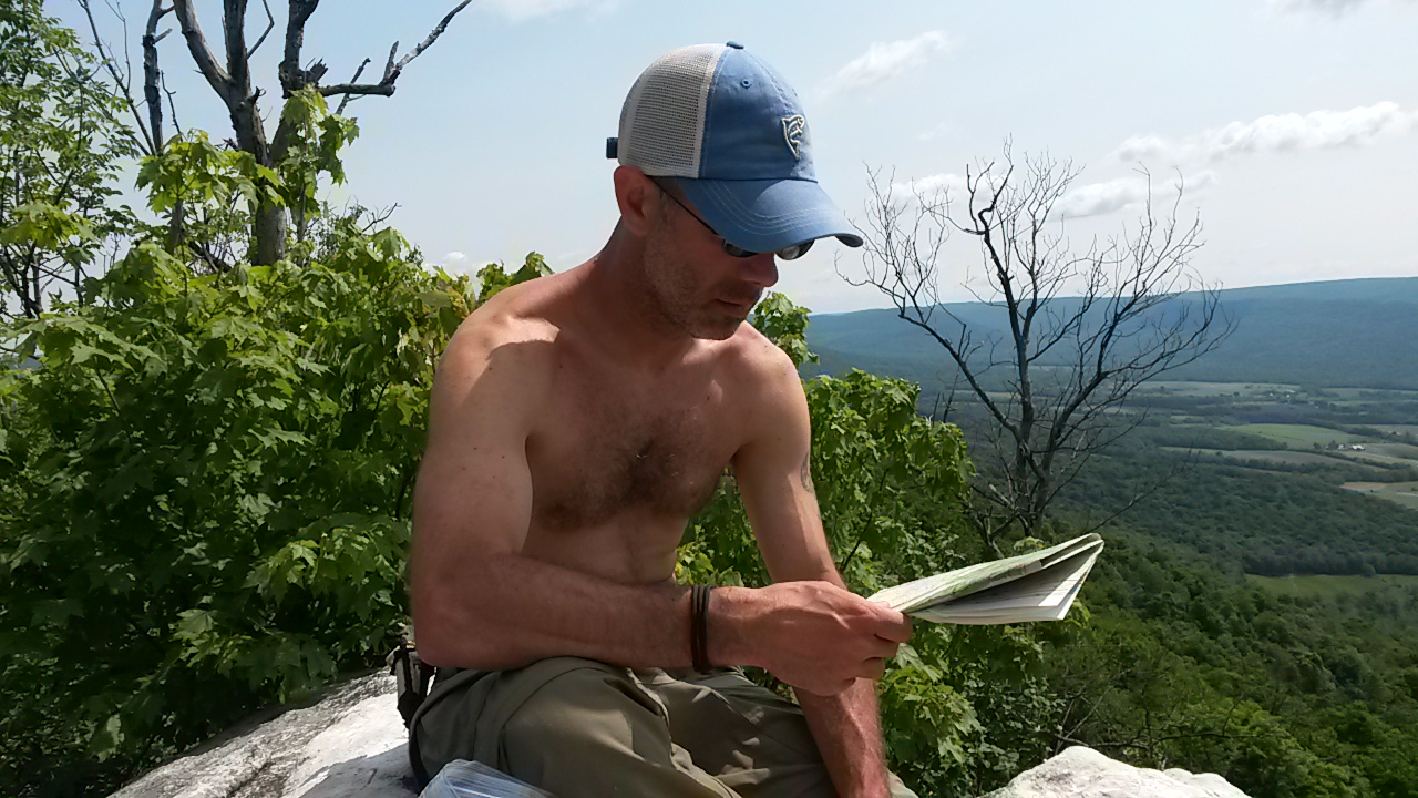
I was deflated. How can my map reading be this wrong? I knew that I had underestimated the Fowlers Hollow climb, but clearly the map indicated it was there. This time, however, I stared across the valley and back at the map, then out into the void and the harsh, rising ridge.
What the hell? Looking down the steep pitch and then across the way, it looked like we were about to do another 45-degree decline for several hundred feet and then have to climb out of it again! Although the map said the incline to the car was 400 feet spread out over 2 miles.
“Well, let’s just get moving and we’ll tackle that climb when we get there. We’re still on-schedule and we’ll just take our time,” I said.
Laurel Run was nice, but we didn’t stay long. A prolonged break earlier meant we just had to keep going. And in time, we realized the map and my estimation were correct. The climb out of Laurel Run was gradual.
Standing at the top of Sherman Mountain, we were seeing an optical illusion because the far mountain top was nearly level with our position. It appeared to be a steep incline, although it wasn’t. That’s why the opposing peak was hazy in the midday sun. It was farther away than it appeared.
All in all, an excellent 20 miles over two days, but certainly strenuous for this part of Pennsylvania. Take plenty of DEET, watch out for twigs, and try not to break an ankle on the cruel jumble of rocks hidden by thick brush.
Here’s the rest of my photos from this trip. Enjoy!


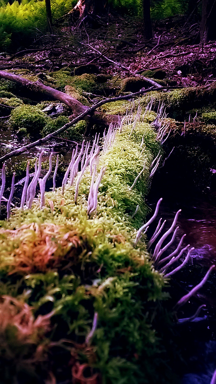
[…] of a healthy forest ecosystem. These spires from a mossy log downed across this grove along the Tuscarora Trail were interesting for their visual and poetic levels. I spent nearly 20 minutes photographing this […]
LikeLiked by 1 person